Highlights van Costa Rica
Natuur
- Venadogrotten - ondergrondse wereld met water & vleermuizen en vissen
- De Braulio Carrillo - het grootste regenwoud van Costa rica met kratermeren
- Manuel Antonio - een weelderige jungle die zich uitstrekt tot aan hagelwitte zandstranden


Overige mooiste bezienswaardigheden, evenementen, activiteiten en attracties
- Cocoseiland - eiland met de grootste haaidichtheid ter wereld
- Nationaal Park Corcovado - grootste laaglandregenwoud van Midden Amerika
World Heritage Sites
- Nationaal park Talamanca Range La Amistad Reserves
- Nationaal park Cocoseiland
- Area de Conservación Guanacaste

Typisch
| nationale gerechten | Gallo Pinto |
Klimaat
| Kenmerken |
|
| Temperatuur | Beste tijd voor een reis |

|

|
Typisch
| Officiële landsnaam | Republiek Costa Rica |
| Hoofdstad | San Jose |
| Nationaliteit | Costaricaan |
| Talen | Spaans |
| Visum nodig? | Nee |
| Munteenheid | Colon (CRC) |
| Regeringsvorm | democratische republiek |
| Grootte t.o.v. Nederland | 1.2 keer groter |
| Bevolking | 4.2 miljoen |
| Bevolkingsdichtheid t.o.v. Nederland | 4.9 keer lager |
| Laagste punt | 0 m |
| Hoogste punt | 3810 m |
Exotische ziekten
- hepatitis A
- dengue
Interessante boeken over Costa Rica
-
Reisgids Costa Rica | Insight Guide (ENGELS) | 24.90 €
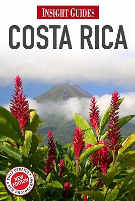
Dé gids als het gaat om achtergrondinformatie en prachtige foto’s. Door het formaat en gewicht niet zo zeer om mee te nemen, als wel om... meer
Dé gids als het gaat om achtergrondinformatie en prachtige foto’s. Door het formaat en gewicht niet zo zeer om mee te nemen, als wel om thuis voor en na de reis uitgebreid te lezen. Kwalitatief van een hoog niveau! Engels.
This 308-page guidebook to Costa Rica presents the country's highlights in a comprehensive format, illustrated with hundreds of full-colour photographs and 9 maps. Key features: Places: region-by-region gazetteer section, with top attractions highlighted and cross-referenced with detailed local maps. Essay Features: incisive essays on Costa Rica?s history, people and culture, from its Pre-colombian roots to its modern love for baseball and sport fishing. Photo Features: magazine-style full-colour features on some of the country's most spectacular sights, including its volatile volcanoes and the wealth of exotic bird species. Travel Tips: practical listings section, including Accommodation, Entertainment, Transport and essential contact addresses and numbers.
-
Wegenkaart - landkaart Costa Rica | Freytag & Berndt | 10.50 €
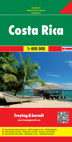
Uitstekende landkaart van Costa Rica. Met index, Nationale parken en afstanden in kilometers en register. Goede duidelijke wegenkaart. Wel een gro... meer
Uitstekende landkaart van Costa Rica. Met index, Nationale parken en afstanden in kilometers en register.
Goede duidelijke wegenkaart. Wel een grote lap kaart, maar daardoor bestrijkt het een groot gebied. Alle toeristische details staan er op, ook campings worden vermeld.
Gedetailleerde, tweezijdige landkaart, prima geschikt voor planning en rondtrekken. De berijdbare wegen zijn goed weergeven, zowel de hoofdwegen als provinciale en lokale wegen; wegnummers worden vermeld. Afstanden tussen plaatsen zijn in kilometers op de kaart ingetekend, daarnaast worden ook op belangrijke plekken benzinepompen gemarkeerd.
In het kaartbeeld wordt door middel van schaduw het reliëf weergegeven en soms enkele punten in het landschap met de daadwerkelijke hoogte. Provinciegrenzen zijn goed terug te vinden, nationale parken en reservaten ook. Met allerhande symbolen worden toeristische bezienswaardigheden weergegeven als monumenten, historisch belangrijke plekken en uitzichtpunten. In bepaalde plaatsen zijn hotels en campings te vinden, luchthavens, treinverbindingen en havens vindt u er ook op!
Vakantiebestemmingen met vergelijkbare kenmerkenMisschien bent u ook geïnteresseerd in andere vakantielanden met de volgende kenmerken: |
Reis en Vakantie Top 10Costa Rica is vertegenwoordigd in de volgende reis top10's:
|

- © 2010-2015 top10gezien.nl
- over deze site
- disclaimer
- adverteren
- contact