Highlights van Nicaragua
Natuur
- Momotombo vulkaan - actieve vulkaan van de vulkaanketen Maribios
- Nicaraguameer - een meer met de afmeting van een zee waar haaien zwemmen


World Heritage Sites
- Ruïnes van León Viejo

Typisch
| nationale gerechten | Gallopinto |
| nationale dranken | macua |
Klimaat
| Kenmerken |
|
| Temperatuur | Beste tijd voor een reis |

|

|
Typisch
| Officiële landsnaam | Republiek Nicaragua |
| Hoofdstad | Managua |
| Nationaliteit | Nicaraguaan |
| Talen | Spaans |
| Visum nodig? | Nee |
| Munteenheid | Cordoba (NIO) |
| Regeringsvorm | republiek |
| Grootte t.o.v. Nederland | 3.1 keer groter |
| Bevolking | 5.8 miljoen |
| Bevolkingsdichtheid t.o.v. Nederland | 9.0 keer lager |
| Laagste punt | 0 m |
| Hoogste punt | 2438 m |
Exotische ziekten
- malaria
- hepatitis A
- typhus
- dengue
- leptospirosis
Interessante boeken over Nicaragua
-
Reisgids Lonely Planet Nicaragua | Lonely Planet | 21.95 €
De perfecte reisgids voor zowel de georganiseerde als de zelfstandige reiziger. Naast een algemene inleiding van het land / streek vol met praktisch... meer
De perfecte reisgids voor zowel de georganiseerde als de zelfstandige reiziger. Naast een algemene inleiding van het land / streek vol met praktische informatie over hoe je er het beste kunt reizen: slapen, eten, vervoer, excursies ... alles kun je er in vinden. Engelstalig. Lonely Planet
Forged by the spirit of poetry and revolution, Nicaragua and El Salvador are Central America's hot up-and-comers, offering volcano treks, rip-roaring surf spots and tons of seldom-visited cultural and ecological treasures. Now, years after the guns were silenced, both countries are opening their doors to the world. And packed with expert advice, this comprehensive guide is your key to discovery.
GET OUT - Special outdoor adventures section brings the waves, dizzying treks and wildlife hot spots to life
THE ROAD LESS TRAVELED - Get off the Gringo Trail with informed do-it-yourself content to some of Central America's best-kept secrets
FIND YOUR WAY - Custom-tailored itineraries make planning a breeze. More than 80 maps mean you won't get lost along the way.
SAFE & SOUND - Thorough safety and health sections provide top tips to ensure many safe returns -
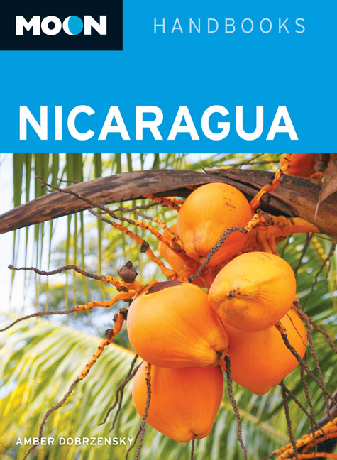
Reisgids Nicaragua | Moon handbooks | 18.95 €

De Amerikaanse uitgever Moon is een vergelijkbare gids met uitgever Lonely Planet > veel praktische informatie met veel diepgang! Het feit dat he... meer
De Amerikaanse uitgever Moon is een vergelijkbare gids met uitgever Lonely Planet > veel praktische informatie met veel diepgang! Het feit dat het een Amerikaanse uitgever is, maken deze gidsen zeer aantrekkelijk voor de staten en nabije landen afzonderlijk. De Lonely Planet haalt dat nivo niet!
Nicaragua expert Amber Dobrzensky teaches travelers how to best experience the wonders of this Central American destination, from hanging out on the Pacific beaches of San Juan del Sur and shopping for crafts in Masaya to partaking in the ever-evolving nightlife of Managua. Dobrzensky also offers detailed itinerary ideas, such as The 21-Day Best of Nicaragua, Hiking the Ring of Fire, and The Great Green North. Including experienced, firsthand advice on renting surf gear, studying Spanish, and strolling down the old colonial streets of Granada and Leòn, Moon Nicaragua gives travelers the tools they need to create a more personal and memorable experience.
Vakantiebestemmingen met vergelijkbare kenmerkenMisschien bent u ook geïnteresseerd in andere vakantielanden met de volgende kenmerken: |
Reis en Vakantie Top 10Nicaragua is vertegenwoordigd in de volgende reis top10's:
|
- © 2010-2015 top10gezien.nl
- over deze site
- disclaimer
- adverteren
- contact

