Highlights van Estland


World Heritage Sites
- De oude binnenstad (Vanalinn) van Tallinn
- Geodetische boog van Struve

Typisch
| nationale gerechten | Verivorst |
Klimaat
| Kenmerken |
|
| Temperatuur | Beste tijd voor een reis |

|

|
Typisch
| Officiële landsnaam | Republiek Estland |
| Hoofdstad | Tallinn |
| Nationaliteit | Estlander |
| Talen | overig, russisch |
| Visum nodig? | Nee |
| Munteenheid | Estlandse Kroon (EEK) |
| Regeringsvorm | parlementaire republiek |
| Grootte t.o.v. Nederland | 1.1 keer groter |
| Bevolking | 1.3 miljoen |
| Bevolkingsdichtheid t.o.v. Nederland | 13.9 keer lager |
| Laagste punt | 0 m |
| Hoogste punt | 318 m |
Low-cost airlines
- Estonian Air
Exotische ziekten
- hepatitis A
Interessante boeken over Estland
-
Wegenkaart - landkaart - Autokaart Estland | Hallwag | 11.95 €
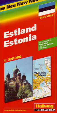
Goede autokaart met rustig kaartbeeld. Met plaatsnamen index en stadsplattegrond. Duits-, Frans- en Engelstalig. Hallwag road maps are re... meer
Goede autokaart met rustig kaartbeeld. Met plaatsnamen index en stadsplattegrond. Duits-, Frans- en Engelstalig.
Hallwag road maps are renowned for their up-to-date information, clear layout and convenience. See for yourself the benefits of the Hallwag international map collection, with new ideas to make travel even easier.A range of symbols indicate information for tourists including: places of interests, viewpoints, natural curiosities, notable buildings and ruins, monuments, monasteries and churches, yearly and seasonal campsites, windmills, lighthouses and golf courses.The map includes extensive transportation detail, multiple language information (English, German, Italian, and French), and a complete multiple language index. Relief shading clearly shows the topography of the land. -
Reisgids Tallinn CitySpots | Thomas Cook | 11.95 €
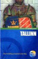
"Cityspots Tallinn" takes you straight to the heart of the Estonian capital. Sometimes referred to as 'Helsinki's suburb', Estonia is the most develop... meer
"Cityspots Tallinn" takes you straight to the heart of the Estonian capital. Sometimes referred to as 'Helsinki's suburb', Estonia is the most developed of the Baltic States. Half the population use e-banking, and tram tickets and parking spaces can be paid for by mobile phone.
"Tallinn" highlights include: Tallinn old town is beautiful; Town hall square (Raekoja plats); and Alexander Nevsky Cathedral.

Vakantiebestemmingen met vergelijkbare kenmerkenMisschien bent u ook geïnteresseerd in andere vakantielanden met de volgende kenmerken: |
Reis en Vakantie Top 10Estland is vertegenwoordigd in de volgende reis top10's:
|

- © 2010-2015 top10gezien.nl
- over deze site
- disclaimer
- adverteren
- contact