Highlights van Ierland
Natuur
- Strangord Lough - broedgebied voor een grote diversiteit aan vogels


World Heritage Sites
- Archeologisch complex de Bend of the Boyne
- Skellig Michael

Typisch
| nationale gerechten | Irish Stew |
| nationale dranken | Ierse Wiskey |
Klimaat
| Kenmerken |
|
| Temperatuur | Beste tijd voor een reis |

|

|
Typisch
| Officiële landsnaam | Ierland |
| Hoofdstad | Dublin |
| Nationaliteit | Ier |
| Talen | overig, engels |
| Visum nodig? | Nee |
| Munteenheid | Euro (EUR) |
| Regeringsvorm | republiek, |
| Grootte t.o.v. Nederland | 1.7 keer groter |
| Bevolking | 4.2 miljoen |
| Bevolkingsdichtheid t.o.v. Nederland | 6.8 keer lager |
| Laagste punt | 0 m |
| Hoogste punt | 1041 m |
Low-cost airlines
- Ryanair
- BMI
- Aerlingus
Interessante boeken over Ierland
-
Wandelkaart Ierland 23 Mayo discovery | Ordnance Survey | 12.50 €
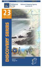
Zeer gedetailleerde topografische kaart met een aantal toegevoegde toeristische symbolen voor bijv. Bezienswaardigheden en campings. Met hoogtelijnen,... meer
Zeer gedetailleerde topografische kaart met een aantal toegevoegde toeristische symbolen voor bijv. Bezienswaardigheden en campings. Met hoogtelijnen, mooi kleurgebruik en ingetekende lange-afstands-wandelroutes.
-
Reisgids 100 % Dublin | Mo Media | 10.95 €
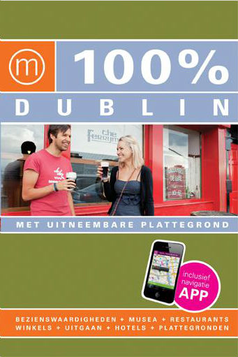
Drink een pint in de authentieke Guinness-brouwerij, wandel door victoriaanse buurten, huur een fiets in Phoenix Park en ga naar Cow's Lane Desi... meer
Drink een pint in de authentieke Guinness-brouwerij, wandel door victoriaanse buurten, huur een fiets in Phoenix Park en ga naar Cow's Lane Designer Mart om creatief te shoppen.Of je nu gaat voor sightseeing, shoppen, culinair genieten of avontuur: met deze gids op zak, ontdek je Dublin in no-time. Alle bezienswaardigheden, de leukste musea, parken, restaurants, cafés en winkels zijn overzichtelijk ingedeeld per stadsdeel. Drie leuke wandelingen leiden je overdag langs alle mooie plekken. Voor ’s avonds zijn er uitgaanstips voor iedereen en comfortabele hotels voor elk budget. De duidelijke plattegronden laten je zien waar je bent en waar je naartoe moet.NIEUW!Met de gratis 100% navigatie-app voor je smartphone volg je live je weg door de stad. Op de kaart zie je waar je op dat moment staat, en welke 100% adressen in de buurt liggen.
Vakantiebestemmingen met vergelijkbare kenmerkenMisschien bent u ook geïnteresseerd in andere vakantielanden met de volgende kenmerken: |
Reis en Vakantie Top 10Ierland is vertegenwoordigd in de volgende reis top10's:
|

- © 2010-2015 top10gezien.nl
- over deze site
- disclaimer
- adverteren
- contact