Highlights van IJsland
Natuur
- Skaftefjell - nationaal park van geisers en kraters


World Heritage Sites
- Nationaal park Þingvellir

Klimaat
| Kenmerken |
|
| Temperatuur | Beste tijd voor een reis |

|

|
Typisch
| Officiële landsnaam | Republiek IJsland |
| Hoofdstad | Reykjavik |
| Nationaliteit | Ijslander |
| Talen | overig |
| Visum nodig? | Nee |
| Munteenheid | ijslandse Kroon (ISK) |
| Regeringsvorm | constitutionele republiek |
| Grootte t.o.v. Nederland | 2.5 keer groter |
| Bevolking | 0.3 miljoen |
| Bevolkingsdichtheid t.o.v. Nederland | 135.6 keer lager |
| Laagste punt | 0 m |
| Hoogste punt | 2110 m |
Low-cost airlines
- Air Berlin
Interessante boeken over IJsland
-
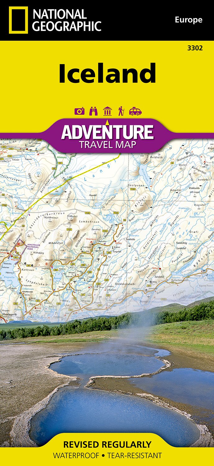
Wegenkaart - Landkaart 3302 Iceland - IJsland | National Geographic | 13.95 €

Wegenkaart van IJsland met vermelding van veel bezienswaardigheden, nationale parken en attrakties. Watervast en scheurvast. Juist door deze vermeld... meer
Wegenkaart van IJsland met vermelding van veel bezienswaardigheden, nationale parken en attrakties. Watervast en scheurvast. Juist door deze vermeldingen onderscheidt de kaart zich van andere wegenkaarten.
National Geographic's Iceland Adventure Map is designed to meet the unique needs of adventure travelers—detailed, durable, and accurate. Iceland includes the locations of thousands of cities and towns with an index for easily locating them, plus a clearly marked road network complete with distances and designations for expressways, motorways, and more. Transportation within and beyond the country is made easier with the locations of airports, airfields, railroads, ferry routes, and lighthouses. What sets National Geographic Adventure Maps apart from traditional road maps are the hundreds of points of interest that highlight the diverse and unique destinations within Iceland. Outdoor activities abound on the island and activity symbols note popular locations to ski, golf, camp, fish, and swim. Travelers will find plenty to explore in Iceland’s cities as well, including World Heritage sites, museums, churches, and other points of interest.Iceland’s western half is shown on the front side of the map including the cities of Reykjavik, Hafnarfjordur, Kopavogur, Gardabaer, Mossfellsbaer, Keflavik, Borgarnes, Stykkisholmur, and Siglufjordur. The reverse side of the map covers the eastern portion of the country showing the cities of Akureyri, Egilsstadir, Eskifjordur, Neskaupstadur, Husavik, and Hofn.Popular places included on the mapReykjavik, Kopavogur, Hafnarfjordur, Gardabaer, Mossfellsbaer, Vatnajokull National Park, Akureyri, Thingvellir National Park, Vatnsfjordur Nature Reserve, Egilsstadir, Hofn, Thjorsarver Nature Reserve, Geitland Nature Reserve, Blue Lagoon Thermal Spa, Eskifjrdur, Reykjanesfolkvangur Nature Reserve, Gullfoss & Geysir, Skaftafell National Park, Neskaupstadur, Husavik. -
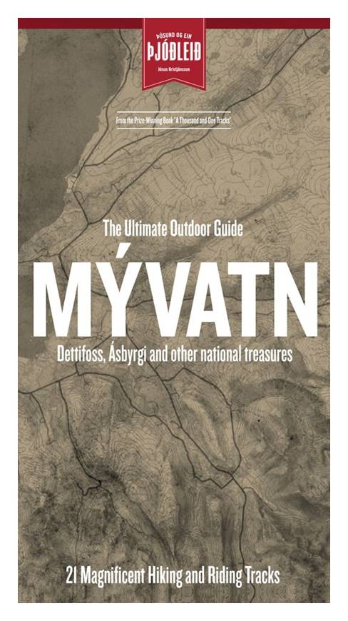
Wandelkaart Myvatn IJsland | Sogur | 19.50 €

Sögur Publishing House, een IJslandse uitgever in Reykjavik, heeft onlangs vijf nieuwe, boeiende en gedetailleerde wandel- en ruiterkaarten uit... meer
Sögur Publishing House, een IJslandse uitgever in Reykjavik, heeft onlangs vijf nieuwe, boeiende en gedetailleerde wandel- en ruiterkaarten uitgegeven. De kaarten zijn beschikbaar in de IJslandse en Engelse taal, en zitten in een plastic mapje, wat zowel bij het wandelen als het paardrijden handig is. Elke kaart biedt ongeveer 40 verschillende routes. De belangrijkste kenmerken zijn: verbeterde hoogtelijnen met een interval van 20 meter, een nauwkeurigere schaal (1/100.000), historische verwijzingen en beeldige beschrijvingen die het landschap schetsen. Ook de overnachtingsmogelijkheden (lodges) langs de paden worden aangeduid.
Vakantiebestemmingen met vergelijkbare kenmerkenMisschien bent u ook geïnteresseerd in andere vakantielanden met de volgende kenmerken: |
Reis en Vakantie Top 10IJsland is vertegenwoordigd in de volgende reis top10's: |
- © 2010-2015 top10gezien.nl
- over deze site
- disclaimer
- adverteren
- contact

