Highlights van Malta


World Heritage Sites
- Hal Saflieni Hypogeum
- Historisch centrum van Valletta Megalithische tempels van Malta

Typisch
| nationale gerechten | Stuffat Tal-Fenek - gestoofde konijn |
Klimaat
| Kenmerken |
|
| Temperatuur | Beste tijd voor een reis |

|

|
Typisch
| Officiële landsnaam | Republiek Malta |
| Hoofdstad | Valletta |
| Nationaliteit | Maltees |
| Talen | overig, engels |
| Visum nodig? | Nee |
| Munteenheid | Euro (EUR) |
| Regeringsvorm | republiek |
| Grootte t.o.v. Nederland | 131.4 keer kleiner |
| Bevolking | 0.4 miljoen |
| Bevolkingsdichtheid t.o.v. Nederland | 3.2 keer hoger |
| Laagste punt | 0 m |
| Hoogste punt | 253 m |
Low-cost airlines
- Ryanair
- Thomas Cook
Interessante boeken over Malta
-
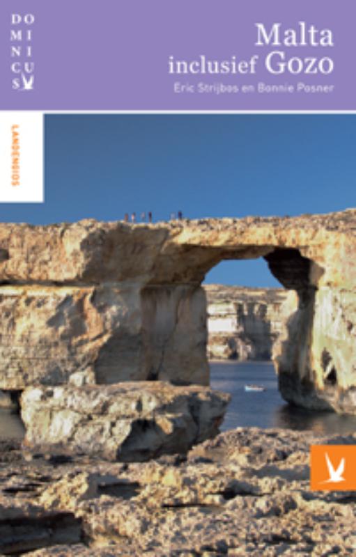
Reisgids Dominicus Malta en Gozo | Gottmer | 16.95 €

Rijk geillustreerde gids met nadruk op historische en culturele hoogtepunten. Prachtige, goed leesbare beschrijvingen die prikkelen! Informatief van... meer
Rijk geillustreerde gids met nadruk op historische en culturele hoogtepunten. Prachtige, goed leesbare beschrijvingen die prikkelen! Informatief van hoog nivo.
Malta heeft een Engelse tijd, een Maltese tijd en een tijd voor de duivel. Dat betekent dat Maltezen op tijd komen als u dat graag wilt, en dat ze te laat komen als ze u als een van hen zien; en er is wel een duivel, maar die laat zich - misschien verblind door de Maltese zon - foppen door een torenuurwerk dat verkeerd staat. Zo is hij altijd te laat als hij een zieltje moet halen.
Reizen is reizen in de tijd, zei een schrijver ooit. Zo maakt u op Malta wel tien tijdreizen tegelijk. U vindt er mysterieuze tempels uit de prehistorie, steden en paleizen uit de Middeleeuwen en de bussen uit uw jeugd. lnternetcafé en ezeltjes horen even veel bij het leven van alledag. Antieke vissersbootjes dobberen tussen futuristische catamarans.
Malta is niet groot, maar u kunt er alle kanten op: naast de rijke cultuur uit de tijd van de Maltezer ridders in Valletta en het verstilde, middeleeuwse Mdina, zijn er de levendige kustplaatsen voor wie graag aan het strand ligt of uitgaat. Wie zon wil en niets dan zon, komt hartje zomer, maar wie dingen doen en bekijken wil, komt in de rest van het jaar: van wandelen tot parasailing, van surfen tot duiken en bergbeklimmen.
Goede kaarten, veel kleurenfoto's en praktische informatie maken Malta tot een handige en volledige reisgids.
-
Reisgids Wat & en Hoe - Malta & en Gozo | Kosmos | 15.95 €

Wat & Hoe-reisgidsen zijn kleurrijke reisgidsen, die door een handig formaat en een stevige ringband gemakkelijk hanteerbaar en zeer praktisch z... meer
Wat & Hoe-reisgidsen zijn kleurrijke reisgidsen, die door een handig formaat en een stevige ringband gemakkelijk hanteerbaar en zeer praktisch zijn. Gedetailleerde kaarten, duidelijke informatie en goede dagindelingen maken de Wat & Hoe-gidsen bijzonder populair bij jong en oud.
Welkom in de mengelmoes die Malta heet! Soms lijkt het alsof je in een zonnige versie van Engeland bent beland.
Je ziet er Britse pubs, rode brievenbussen en antieke Engelse bussen die ook nog een links rijden. Maar het Arabische dialect van de bewoners, hun Italiaanse keuken en katholieke feesten verlossen je snel van die illusie. Denk er verder niet over na en geniet gewoon van dit eiland van uitersten!
Vakantiebestemmingen met vergelijkbare kenmerkenMisschien bent u ook geïnteresseerd in andere vakantielanden met de volgende kenmerken: |
Reis en Vakantie Top 10Malta is vertegenwoordigd in de volgende reis top10's:
|
- © 2010-2015 top10gezien.nl
- over deze site
- disclaimer
- adverteren
- contact
