Highlights van Servië

World Heritage Sites
- Stari Ras en Sopocani
- Het Studenicaklooster
- Middeleeuwse monumenten in Kosovo
- Gamzigrad-Romuliana - het paleis van Galerius

Typisch
| nationale gerechten | Ðuvec |
| nationale dranken | Šljivovica |
Klimaat
| Kenmerken |
|
| Temperatuur | Beste tijd voor een reis |

|

|
Typisch
| Officiële landsnaam | Republiek Servië |
| Hoofdstad | Belgrado |
| Nationaliteit | Servier |
| Talen | overig |
| Visum nodig? | Nee |
| Munteenheid | Servische Dinar |
| Regeringsvorm | republiek |
| Grootte t.o.v. Nederland | 1.9 keer groter |
| Bevolking | 10.2 miljoen |
| Bevolkingsdichtheid t.o.v. Nederland | 3.1 keer lager |
| Laagste punt | 28 m |
| Hoogste punt | 2169 m |
Exotische ziekten
- hepatitis A
Interessante boeken over Servië
-
Wegenkaart - landkaart Noord Servië - Serbien Noord | Freytag & Berndt | 10.50 €
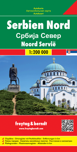
Uitstekende landkaart van Noord Servië. Met index, toeristische informatie en afstanden in kilometers. Gedetailleerde, tweezijdige landkaart ... meer
Uitstekende landkaart van Noord Servië. Met index, toeristische informatie en afstanden in kilometers.
Gedetailleerde, tweezijdige landkaart van dit gebied, prima geschikt voor planning en rondtrekken. De berijdbare wegen zijn goed weergeven, zowel de hoofdwegen als provinciale en lokale wegen; wegnummers worden vermeld. Afstanden tussen plaatsen zijn in kilometers op de kaart ingetekend, daarnaast worden ook op belangrijke plekken benzinepompen gemarkeerd.
In het kaartbeeld wordt door middel van schaduw het reliëf weergegeven en soms enkele punten in het landschap met de daadwerkelijke hoogte. Provinciegrenzen zijn goed terug te vinden, nationale parken en reservaten ook. Met allerhande symbolen worden toeristische bezienswaardigheden weergegeven als monumenten, historisch belangrijke plekken en uitzichtpunten. In bepaalde plaatsen zijn hotels en campings te vinden, luchthavens, treinverbindingen en havens vindt u er ook op!
-
Wegenkaart - landkaart Servië Zuid - Serbien Süd | Freytag & Berndt | 10.50 €
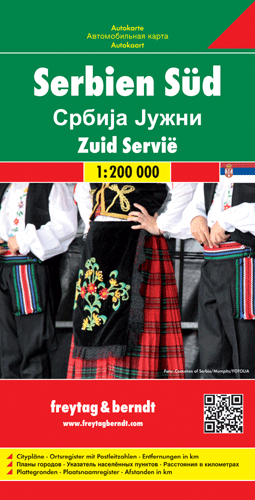
Uitstekende landkaart van Servië Zuid. Met index, toeristische informatie en afstanden in kilometers. Gedetailleerde, tweezijdige landkaart v... meer
Uitstekende landkaart van Servië Zuid. Met index, toeristische informatie en afstanden in kilometers.
Gedetailleerde, tweezijdige landkaart van dit gebied, prima geschikt voor planning en rondtrekken. De berijdbare wegen zijn goed weergeven, zowel de hoofdwegen als provinciale en lokale wegen; wegnummers worden vermeld. Afstanden tussen plaatsen zijn in kilometers op de kaart ingetekend, daarnaast worden ook op belangrijke plekken benzinepompen gemarkeerd.
In het kaartbeeld wordt door middel van schaduw het reliëf weergegeven en soms enkele punten in het landschap met de daadwerkelijke hoogte. Provinciegrenzen zijn goed terug te vinden, nationale parken en reservaten ook. Met allerhande symbolen worden toeristische bezienswaardigheden weergegeven als monumenten, historisch belangrijke plekken en uitzichtpunten. In bepaalde plaatsen zijn hotels en campings te vinden, luchthavens, treinverbindingen en havens vindt u er ook op!
Vakantiebestemmingen met vergelijkbare kenmerkenMisschien bent u ook geïnteresseerd in andere vakantielanden met de volgende kenmerken: |
Reis en Vakantie Top 10Servië is vertegenwoordigd in de volgende reis top10's: |

- © 2010-2015 top10gezien.nl
- over deze site
- disclaimer
- adverteren
- contact